
Town planning & development
Site layouts and development planning that connect access, circulation, land use and infrastructure.
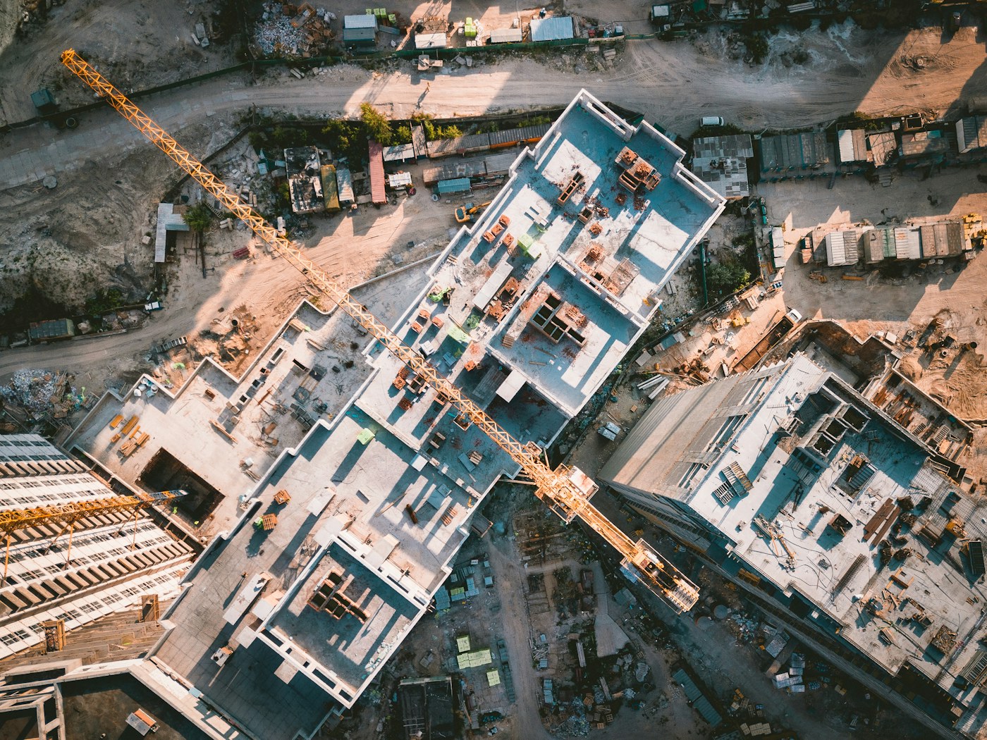
Planning a development begins with understanding the land and the intended use. A useful layout considers access and movement alongside the arrangement of plots, buildings and shared spaces.
Start with site information
Site boundaries, surveys, surrounding roads, existing utilities and applicable planning requirements inform the initial discussion. The scope may include concept layouts, circulation studies and coordination of development information. Detailed infrastructure design and approval submissions should be agreed separately where required.
Plan for how the place will work
Vehicle access, pedestrian movement, service routes, drainage and open spaces need to be considered together. A phased development also needs a clear understanding of which works support each stage. Planning proposals should be checked against current requirements of the relevant authority before implementation.
Bring the location, land dimensions, available survey and your intended development brief. We can discuss the appropriate planning services and which further investigations or specialist inputs are needed. No layout or approval outcome can be confirmed without reviewing the specific site.
Tell us what you want to build.
Share your location, space requirements and ideas. Let’s discuss a practical way forward.